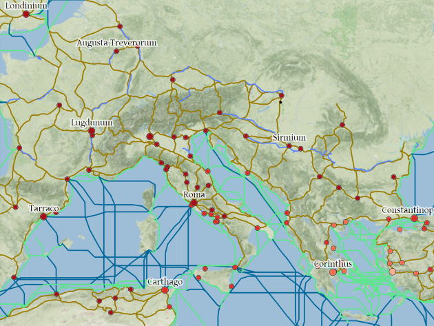
In the 3rd century A.D. Rome was at the peak of its expansion: it ruled over three continents, and over a quarter of humanity, through a perfect mix of political power, military domination and economic exchange. But how did people move within the Roman Empire? Starting from 2012, researchers at Stanford University have developed a platform that allows us to travel in time and explore the immense Roman world: its name is ORBIS (world, in Latin) and is a small masterpiece of digital reconstruction, a didactic tool but to be tried just out of curiosity.
The model – a sort of Google Maps of ancient Rome – is based on a simplified version of the giant network of cities, roads, rivers and sea lanes that framed movement across the Roman Empire, 90,000 km of roads and desert tracks, complemented by rivers, navigable canals and sea routes that in the past were often faster than those on land. The interactive map allows us to choose the departure point and the destination (the names are those of the time, London is for example Londinium), but also the means of transport – from a camel caravan to a military march – and the period of year. Finally, the travel simulation also includes the hypothetical costs to be incurred in depending on the option chosen. An example? To get to Milan from Rome on an ox cart it would have taken almost 50 days...
 Condividi


